COOL project showcased at Ocean Sciences Meeting 2026
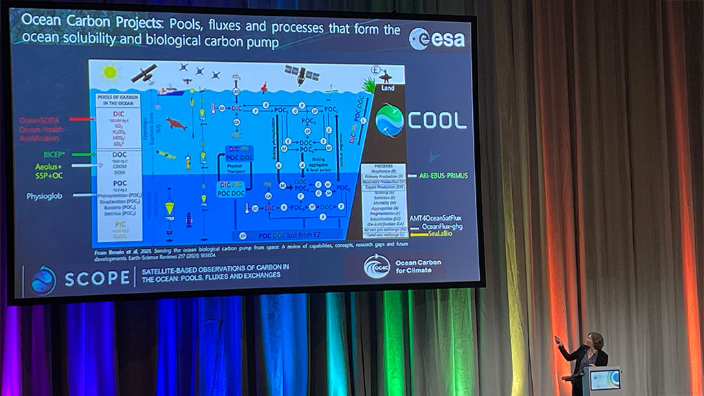
The COOL project was recently presented at the Ocean Sciences Meeting 2026 (OSM26) in Glasgow, one of the leading international conferences for ocean science.
COOL project represented at International Ocean Colour Science meeting 2025 (IOCS)
The International Ocean Colour Science Meeting 2025 took place between the 1st and 4th December 2025. It brought together the Earth Observation community with the overarching theme this year of ‘Ocean Colour: serving Earth system science & our society’.
COOL Project Kicks Off: Advancing Earth Observation of the Coastal Carbon Cycle
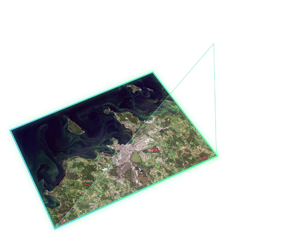
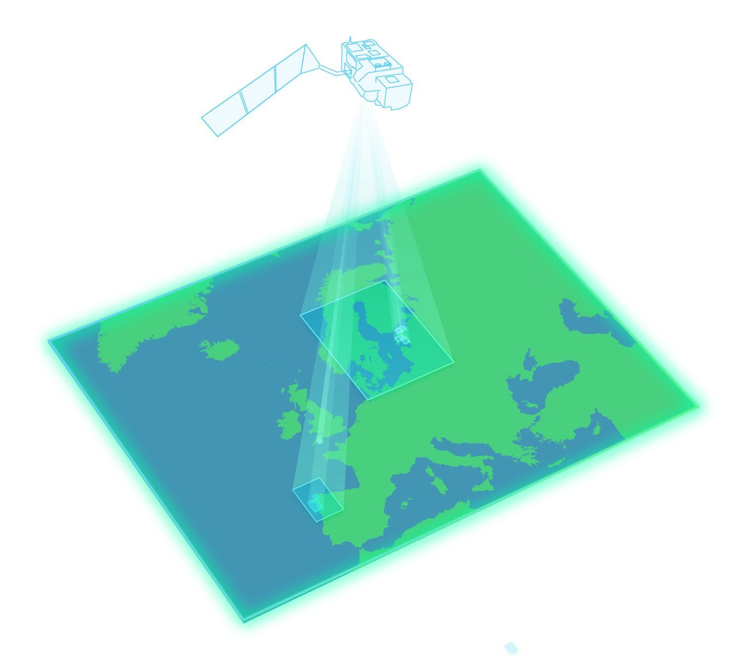
We are excited to announce the official launch of the COOL project — Carbon from Earth Observation between Ocean and Land. Funded by the European Space Agency (ESA), this pioneering initiative brings together leading researchers to tackle a longstanding challenge in environmental science: accurately observing and understanding the carbon cycle in coastal oceans.